
Santa Fe Neighbors Through Block Records
An immediate Santa Fe block is best researched as the parcels around a focal address, not as a list of people. The County and City map tools supply geometry and parcel context. The Assessor account may show the owner and separate mailing and situs fields for each parcel. A deed can verify a transaction trail. Election information works differently: NMVote is self-service, while regulated voter data has a written request and use limits. Association records offer community contacts, not a published roster.
| Block source | What it can show near an address | Santa Fe access route |
|---|---|---|
| County or City GIS map | Parcel arrangement, street geometry, and map layers | Public interactive viewer; map data are reference-only |
| Assessor parcel account | Owner, mailing and situs fields, UPC, parcel number, and legal context | County Parcel Property Map Search |
| Recorded instrument | Named parties, instrument placement, and legal-description trail | ClerkTrackWeb, counter, email, foyer computer, or staff research |
| GIS buffer map | Adjoining or nearby-parcel geography for notification context | County GIS service request |
| Neighborhood association contact | Community group coverage and a contact route | City-registered association information on request |
Owner and mailing fields answer a property question, not a question about everyone who may be present at a parcel. A situs address is the physical parcel location. A mailing address is where assessment correspondence goes. It may match the situs or point elsewhere. Keep that distinction in every Santa Fe neighbor search.
The County Parcel Viewer supports four documented entry paths: UPC, address, owner in Last, First order, and parcel ID. A parcel account can also carry a recording number, book and page, tax-area code, subdivision or lot details, acreage, class, tax district, values, exemptions, and neighborhood. Those fields make a Santa Fe block search more precise than a street name alone, especially where similar address names or irregular parcel patterns occur.
Map a Santa Fe Neighbor Block
The practical block method begins with the focal parcel. County GIS manages E-911 addressing and publishes interactive maps; the City viewer adds city-limits parcel and zoning context. Select the address, inspect the parcel result, and identify the adjoining or nearby outlines before reviewing a separate account for each one. Map results are orientation evidence, not a substitute for a recorded deed or plat when an exact boundary matters.
- Enter the exact address in the County Parcel Viewer or the City viewer's address search. Record the returned UPC, parcel number, and legal description when available.
- Use the map to identify touching or nearby parcels. Open each account separately and keep its parcel reference with the result.
- Compare the owner, mailing, and situs fields without assuming any field identifies all people at the physical address.
- When the online map cannot provide enough nearby-parcel context, request the County GIS adjoining or buffer product at (505) 986-6225. Confirm a significant property question with the Clerk's recorded document or plat.
For a whole named street rather than the immediate block, use the Santa Fe Street Directory. That records chain follows addresses along a street, while a neighbor lookup stays focused on the nearby parcel pattern.
Santa Fe Neighbors and GIS Geography
The Santa Fe County GIS entry carries the County's reference-data notice before mapping. Its GIS Division includes the E-911 Addressing Section and offers an adjoining or buffer map service for mailing-notification context. That is the documented local alternative when a map click does not clearly define a block. The service describes geography around parcels, not a list of nearby residents.
The County GIS entry makes the reference-only boundary clear before a Santa Fe neighbors search moves from a map to a recorded property source.
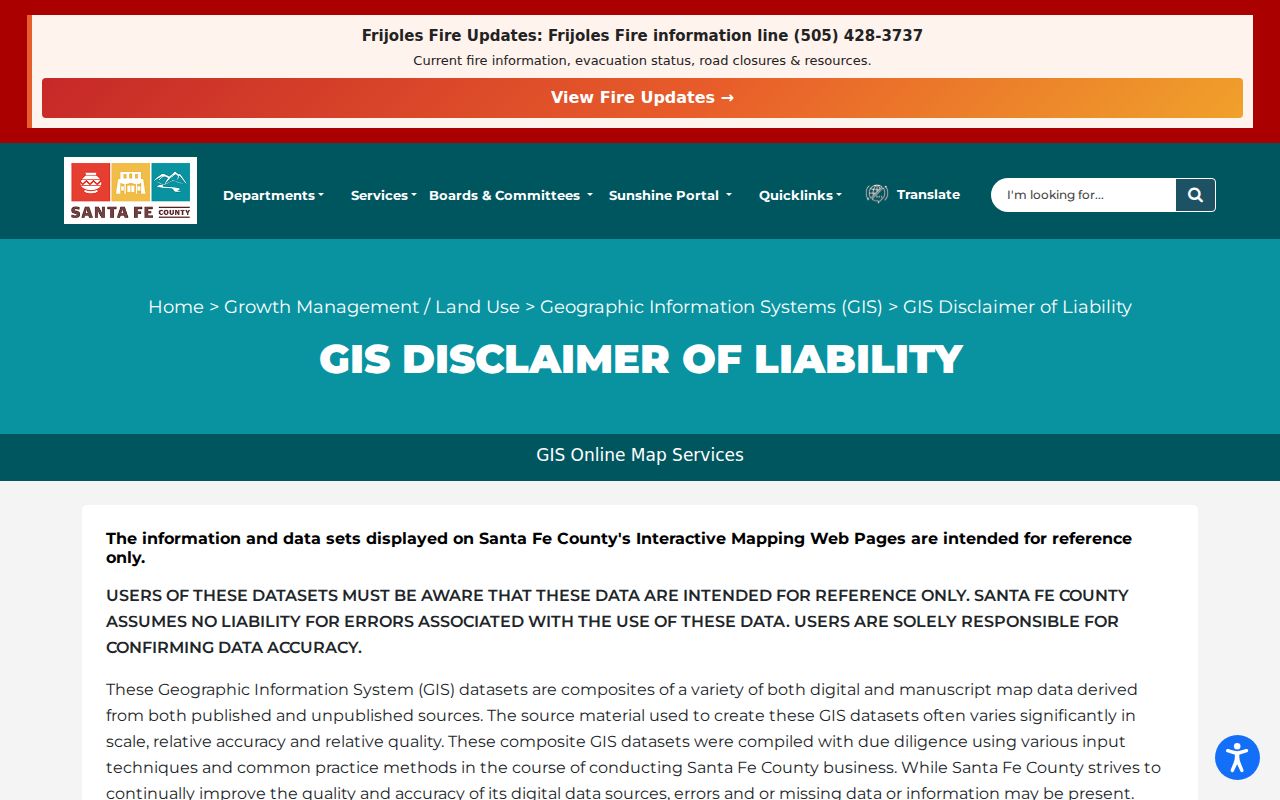
Santa Fe's geography makes this caution useful. A Santa Fe mailing city can cover a parcel outside the city limits, while a city parcel can have a ZIP that also spans county land. The City viewer is appropriate inside city limits. The County viewer and GIS office help with county geography. The record's exact situs and parcel reference decide which one applies.
Note: GIS data can contain errors or missing information, so a parcel map should guide the search rather than replace a deed or plat.
Santa Fe Neighbor Association Contacts
The City neighborhood-association GIS layer separates registered neighborhood associations from HOAs, condominium associations, subdivision associations, and other groups. Its examples include Historic Guadalupe, Historic Hillside, Don Gaspar, Canyon, Southeast, Arroyo Chamisa/Sol y Lomas, Hyde Park Planning Group, and Las Campanas. These names help identify the community geography around a Santa Fe address. They do not establish a member list or who lives at a particular parcel.
| Community layer | Useful contact approach |
|---|---|
| Historic Guadalupe, Historic Hillside, Don Gaspar, Canyon, and Southeast | Use the City's registered-association layer to identify the area, then request the published contact route if needed. |
| Arroyo Chamisa/Sol y Lomas and Hyde Park Planning Group | Treat the map as geographic context and ask the City for registered contact information. |
| Las Campanas and other subdivision or association layers | Confirm the specific group classification before contacting it; the map distinguishes several organization types. |
Contact zoningcounter@santafenm.gov to request City-registered association contact information. The City does not publish a household roster through this route. A contact request respects the difference between a community organization and private resident information.
City Records for Santa Fe Neighbors
Some block questions involve a city-held permit, code file, or department record rather than a parcel account. The City Attorney's Office records custodian accepts a City of Santa Fe public-records request online, on a printed English form by mail, or in person. A request should describe the existing record and give the requester's name, date, and email, mailing address, or telephone contact. The City need not create a new list or report.
The City public-records route is the documented fallback for an existing city record that has no public search screen.
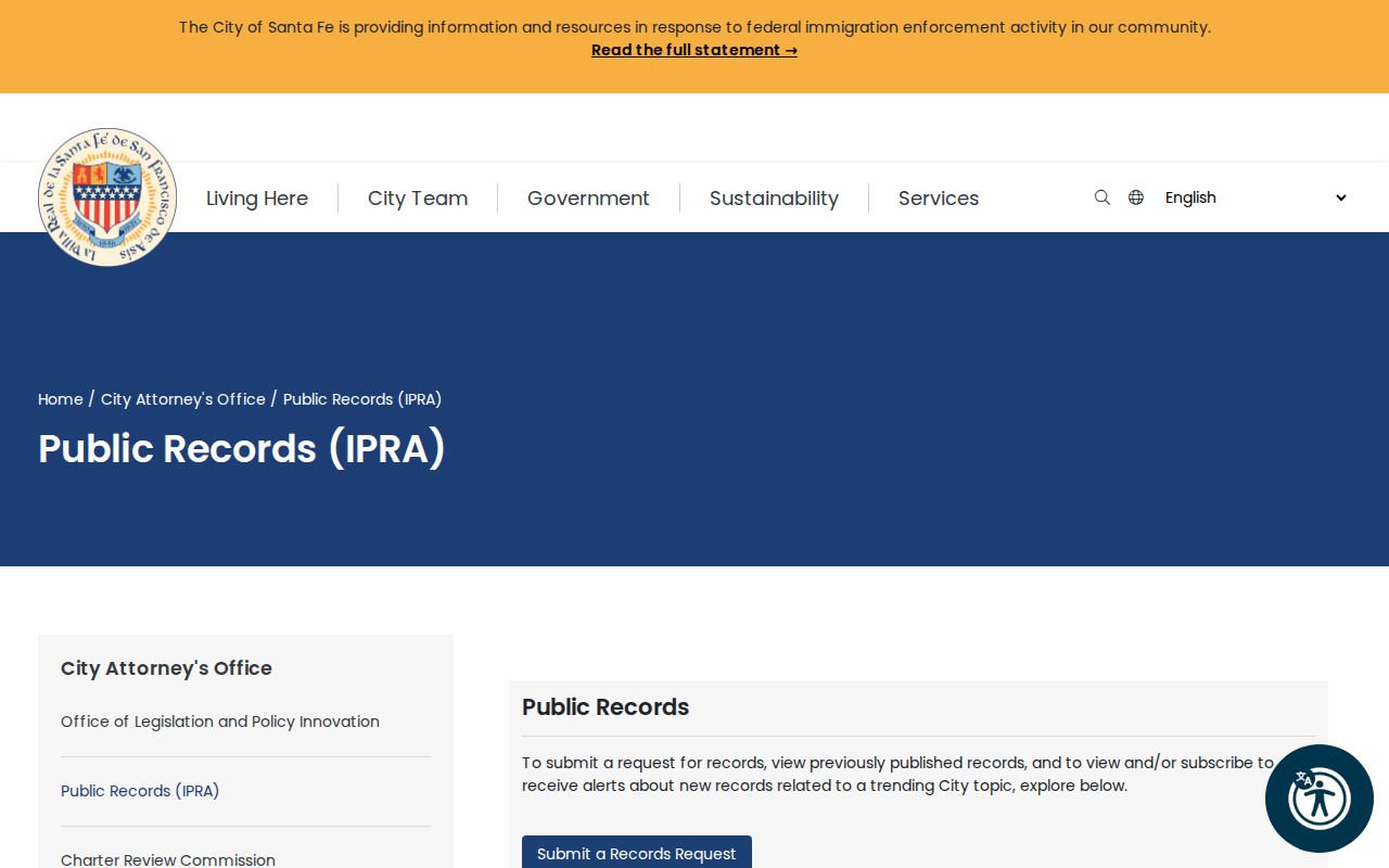
Use a narrow record type, address, and date range. City materials list $0.25 for an 8.5-by-11 physical copy, $3 for a disk, and $10 for a thumb drive. The City records custodian is at 200 Lincoln Ave., with public-office hours Monday through Friday from 8 a.m. to noon and 1 to 5 p.m.
Santa Fe Neighbors and Voter Data
Voter records do not supply a casual block roster. NMVote offers a person's own registration and election information, and its address route returns a voting location from a street number and ZIP. The separate SERVIS voter-data request is written, paid, and purpose-specific. It can include fields such as name, physical or mailing address, year of birth, party, precinct, jurisdiction, and voter history, but only under the stated rules and exclusions.
The SERVIS information page explains the regulated voter-data request, rather than offering an unrestricted Santa Fe neighbors search.
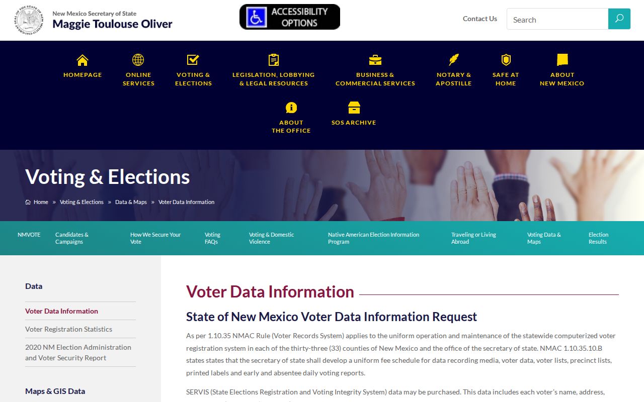
NMSA 1978 § 1-4-5.5 requires a written request and an affidavit that limits voter-data use to governmental or election-campaign purposes. It excludes Social Security numbers, day and month of birth, opted-out telephone numbers, and specified current ballot-request, return, and status information. Voting history records participation and method, never ballot choices.
Official Santa Fe Neighbor Sources
Official sources and commercial collection tools answer different questions. The parcel account and recorded document can be checked with the custodian and tied to a UPC, legal description, instrument number, or book and page. A commercial collection may combine public, brokered, and social material, which can be stale or conflate people with the same name. A map, deed, or Clerk record should be checked in its original system before it is used for a personal decision.
| Source category | Best use | Key limit |
|---|---|---|
| County or City parcel map | Locate a parcel and inspect recorded account fields | Reference-only mapping; it does not replace deeds or plats. |
| County Clerk recorded instrument | Verify a property transaction or legal-description trail | Image and copy access uses the Clerk's distinct portal, counter, email, and staff routes. |
| Commercial collection tool | Identify a possible lead to check independently | Information may be inaccurate, outdated, or joined to the wrong person. |
If a commercial listing is wrong, follow that service's own removal and identity-verification process, then recheck later because data can reappear. That does not alter the underlying County Clerk, Assessor, court, or City record. For an official error, contact the custodian with the exact record reference.
Santa Fe Neighbor Lookup Privacy
New Mexico Safe at Home gives qualifying survivors a substitute address and mail forwarding. Participant voter registrations are held in a secured module, and their residential or delivery address, phone, and email are not publicly disclosed except by court order. Safe at Home cannot erase every older public or third-party record, but it is a meaningful address-protection path. Do not use a precinct, map, or adjacent-parcel request to try to identify a protected address.
New Mexico Safe at Home explains the substitute-address program and its application-assistant process.
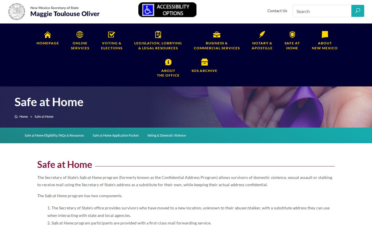
Other block data that should not be treated as public neighbor material include utility, delivery, and DMV information. County-record images also have specific redaction rules for some identifiers and restrict veteran discharge records. Ask the custodian about a factual correction, redaction rule, or sealing procedure rather than trying to defeat a safety program.
Lawful personal use. Use Santa Fe neighbor records for lawful personal research, community contact, civic curiosity, or an address-specific property question. New Mexico law prohibits using record details to stalk, harass, intimidate, or harm another person.