
Santa Fe Previous Residents by Era
One Santa Fe address can lead through several custodians. Begin with the county parcel record to establish the current address form, UPC, legal description, and recording references. Then choose the source that fits the period. The deed trail identifies recorded transfers. Historical books, released census schedules, maps, and newspapers add a household or place layer. Each is incomplete in its own way, so the best result is a chain of dated observations, not an unsupported list of names.
| Santa Fe source | Known period or limit | Where to use it | What it can establish |
|---|---|---|---|
| Recorded-document route | No verified first web-index year; 480,000+ records digitized since 2021 | ClerkTrackWeb, foyer, email, counter | Instrument trail and property parties |
| State archival county records | 1850-1912 | State archival research channel | Older clerk, assessor, probate, and court material |
| Santa Fe city directories | Catalogued 1928-1999, gaps need checking | History Museum reading room | Name, business, and address snapshots |
| Cross Reference Directory | 1995 and 1997 | History Museum reading room | Late address-to-name route |
| Federal census | Released through 1950 | Federal census research channels | Household and broad address context |
| Sanborn maps | 1886, 1902, 1921 online; early coverage is not citywide | Public map collection | Street, building, and land-use context |
| Newspapers and microfilm | Local titles catalogued from 1852-1922; local microfilm | Local and university collections | Notices, obituaries, and address leads |
For recent history, start with the parcel and deed route. For the years after the local directory sequence begins, test the address in the printed books. For older locations, move directly to newspapers, maps, deeds, church material, and archival series. A missing online hit does not prove the address had no prior record because the County does not publish a reliable first web-index year.
Santa Fe Deed Chain Records
The Santa Fe County Assessor tools route is the documented start for a present-day address. The Parcel Property Map Search supports address, UPC, owner last-name-first, and parcel-ID search modes. Capture the owner field, situs address, UPC, parcel number, legal text, recording number, and book/page references. The situs is the physical parcel location; the mailing address is where the tax office sends mail. Neither field identifies every person who lived at that location.
Take those details to ClerkTrackWeb. The County publishes three distinct portal paths: INDEX credentials for indexing information, PUBLIC credentials for online document purchase with a card and email, and a separate PROBATE path. The online guide offers Party Type and Recording Information modes, including instrument number, book and page, and document type. That division is important because an index result, an image purchase, and a probate search are not the same service.
| Online index | Use INDEX access to locate an instrument number and indexing information. |
|---|---|
| Document image | Use PUBLIC access for the card-and-email purchase route. |
| Email fallback | Send the instrument number to clerk@santafecountynm.gov and allow two business days. |
| In-person route | Use free self-service computers in the Clerk foyer during business hours; appointments receive priority. |
| Staff research | The Clerk offers unofficial address or chain research for $40 for the first 15 minutes and $40 per hour after. |
The County Clerk access guide calls staff chain research unofficial and not guaranteed. It is still the documented fallback when the self-search route breaks. The office is at 240 Grant Ave., Santa Fe, and lists (505) 986-6280, Monday through Friday, 8 a.m. to 5 p.m. Note: Keep an instrument number, book/page, UPC, or legal description with every name to avoid mixing unrelated properties.
Santa Fe Address Map Records
Maps test whether an old address belongs to the same physical place before a household name is attached to it. The Library of Congress Santa Fe Sanborn time series leads to public-domain material, including confirmed 1886, 1902, and 1921 editions. Start with the front-page street index, then move to the sheet for the address. A map can show a street, a building footprint, or a use. It does not name the people who lived there, and early editions concentrate on the historic core rather than covering all later-developed areas.
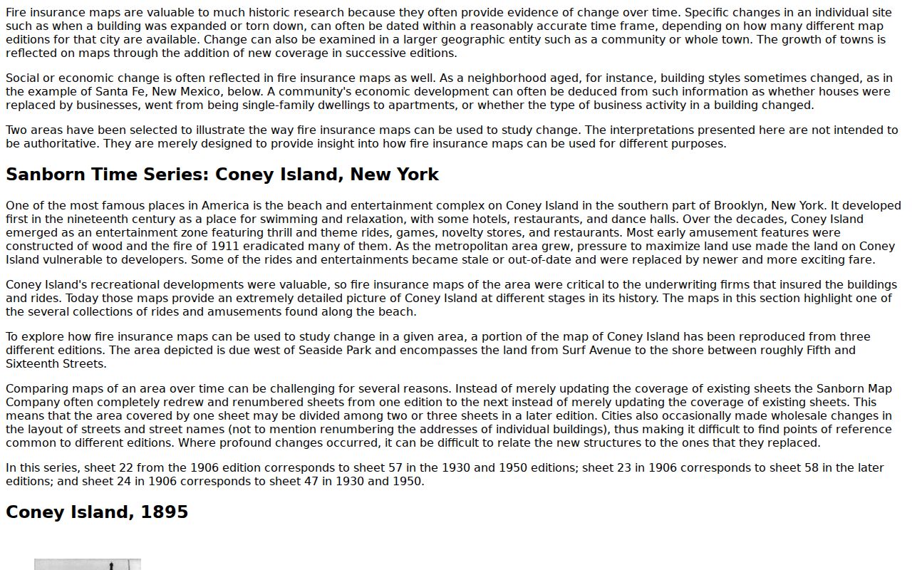
The Sanborn sequence is best used after the parcel or deed trail supplies a stable address form, then alongside a dated directory, census, or newspaper finding.
Santa Fe’s built geography explains why the map layer can be uneven. Downtown and Eastside streets include irregular older patterns, while Don Gaspar and South Capitol reflect railroad-era growth from 1890 to 1930. For a later building, the City GIS viewer has historic aerial layers for 1935, 1951, 1992, 1996, 2001, 2005, 2008, 2009, 2011, 2018, 2019, and 2025. Aerials add date context, but neither an aerial nor a Sanborn sheet proves who lived in a structure.
Tracing Santa Fe Deed Records
A deed chain follows the property, not merely a familiar surname. Start with the current parcel record and purchase or obtain the acquisition instrument. Read the grantor, grantee, legal description, recording date, and earlier references. The prior seller is then searched as a grantee to locate that person’s earlier purchase. Repeating the legal description and instrument references is what turns individual documents into a defensible backward property trail.
- Search the Assessor by address and record the UPC, parcel number, legal description, recording number, and book/page.
- Use the current instrument number, Party Type mode, or Recording Information mode in ClerkTrackWeb to find the acquisition document.
- Read the deed and identify the seller, buyer, recording date, legal description, and any earlier instrument reference.
- Search the prior seller as a grantee and compare the legal description before treating the result as the same property.
- When the portal fails, use the foyer, instrument-number email route, County Clerk counter, staff research, or archival review for the earlier record.
- Grantor
- The person or entity transferring an interest in the recorded document.
- Grantee
- The person or entity receiving that interest. In a backward search, a prior seller is often found as a grantee on the earlier purchase.
- Chain of title
- The linked sequence of recorded transfers for one property, checked through identifiers and legal descriptions.
- Legal description
- The lot, block, subdivision, township, or other formal property description. It is usually more reliable than an old street address when records are compared.
Santa Fe Address Records Before 1928
Address-history research changes character before Santa Fe city directories begin in 1928. A directory is not the opening source for an earlier address. Instead, use a recorded deed or tax material to establish the property trail, then look for names in the local newspaper run, historical maps, church material, and archival county series. State archival material includes county records from 1850 through 1912, but survival is uneven. The Pueblo Revolt of 1680 destroyed nearly all Spanish documents in New Mexico, and later government series can also be discontinuous.
The New Mexico Historical Newspapers collection includes Santa Fe titles from the nineteenth and early twentieth centuries. Its newspaper evidence can lead to a date, family name, notice, or street clue. Keep it separate from the deed chain. For properties within city limits, City Records Custodian IPRA requests are the documented fallback for existing city-held files without a public search surface. A request must reasonably identify an existing record, and the City need not create a new list or report.
Santa Fe Census Record Snapshots
Recorded owners are only part of a Santa Fe household history. A local city directory can place an address beside a printed name, while a released federal census can add household composition, birthplace, and other period context. The most recent released federal census is 1950; 1960 and later schedules remain closed under the 72-year restriction. The 1890 population schedules were destroyed, except for the veteran and widow schedule, so a normal 1890 household entry should not be expected.
The 1950 Census research portal provides the public federal-census route for the latest released schedule. Match a directory year to the nearest census year, then compare the address, surname form, and family details rather than relying on a name alone.
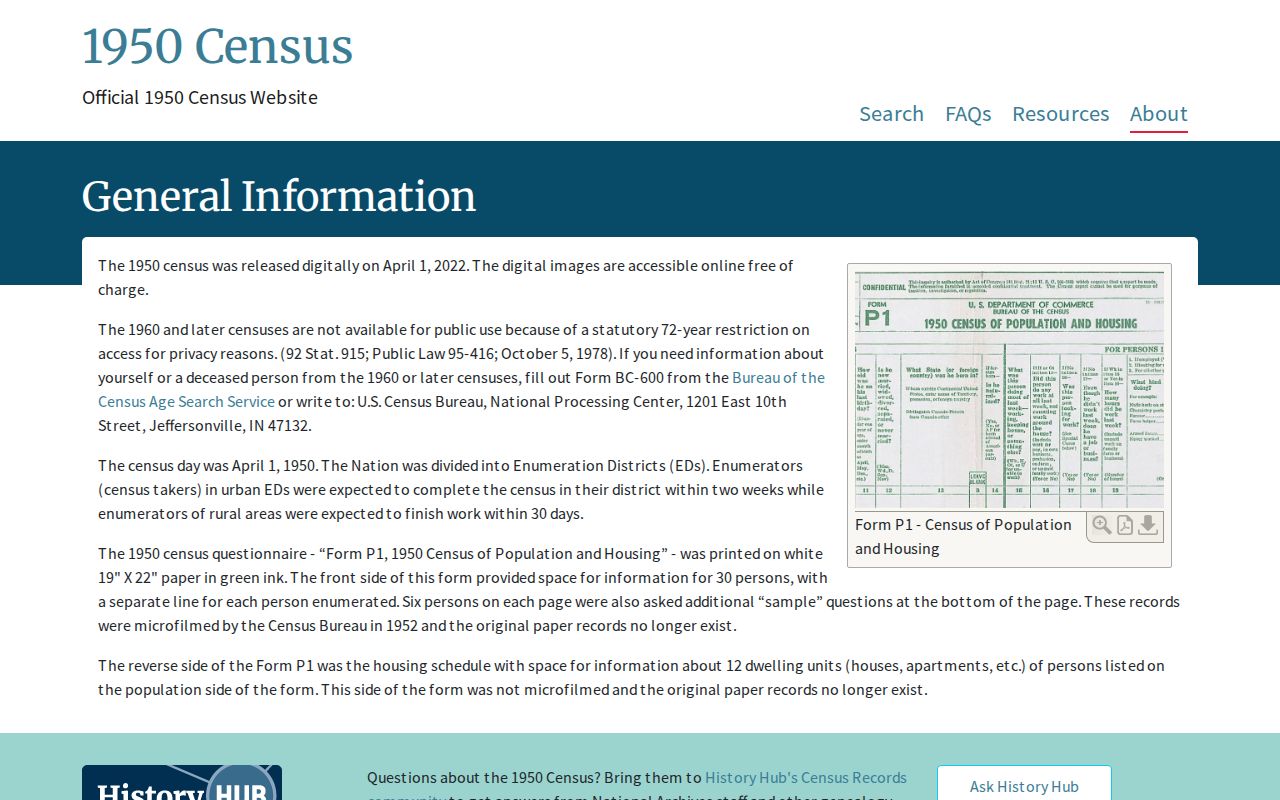
Census evidence adds a household layer to a Santa Fe address history, while the directory and deed record keep the address and property trail in view.
- Locate the directory entry or pink-page address reference closest to the census year.
- Compare the printed address with the census location and note any spelling or numbering difference.
- Use the household, age, birthplace, and relationship details as same-person checks, not as replacements for the property record.
- Return to the next directory issue, Sanborn map, obituary, or deed when a move or disappearance appears.
Santa Fe Historical Record Endpoints
When a person leaves an address trail, local death, burial, probate, and newspaper sources may explain the transition. The Chávez obituary database covers approximately the 1870s through December 31, 2005, with especially strong Santa Fe concentration from the 1950s and 1960s onward. It is not complete. Search the exact printed surname and, where the index allows, retry without diacritics. An obituary is a useful time marker, not proof that the named person was the same individual in the property file.
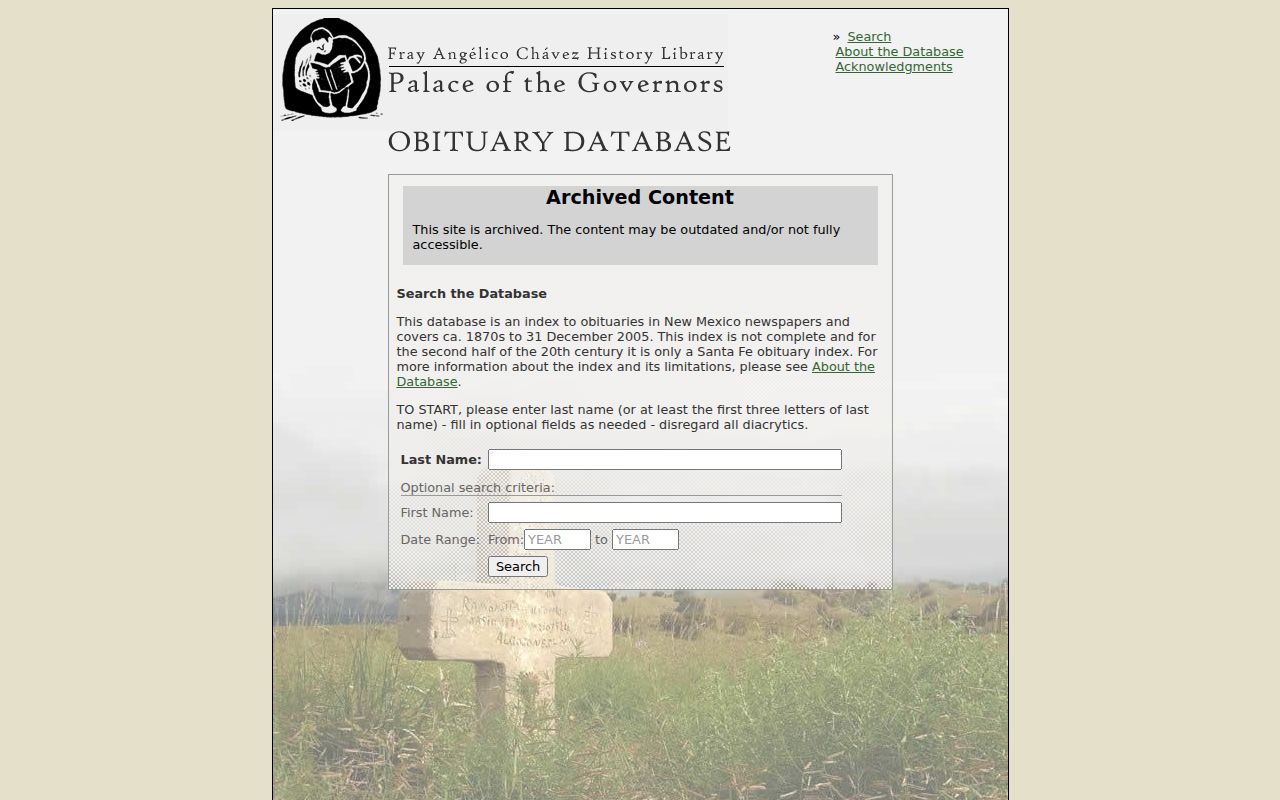
Obituary results work best as a close to a dated household trail when an address, spouse name, or cemetery record gives a second point of comparison.
The Fairview Cemetery Grave Locator has more than 2,000 digitized burial records and may provide grave-image context. Fairview was established at its present location in the 1880s and was historically Santa Fe’s only non-Catholic cemetery. Its results can corroborate a lead but cannot, by themselves, prove identity, relationship, or last residence.
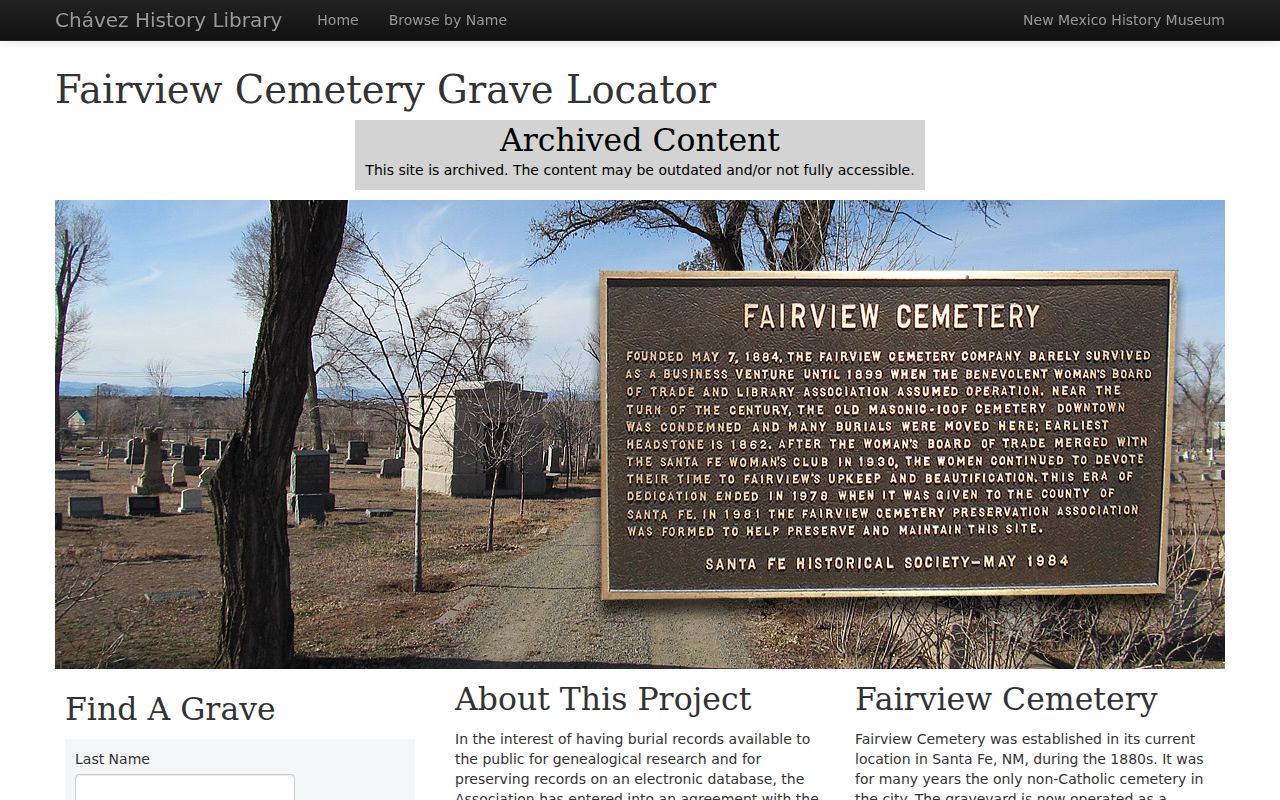
Pair a cemetery finding with an obituary, probate file, directory entry, or recorded deed before adding it to a Santa Fe address timeline.
Santa Fe Address Record Privacy
A Santa Fe property trail is appropriate for family history, an estate or heir question, consumer safety, or curiosity about a building’s past. It is not a roster of present occupants. Parcel data distinguishes the situs from an owner’s mailing address, and neither field proves all residents. City permit access is also limited: the City Citizen Self Service portal says full permit and plan-review access requires login and being listed as a contact. For a status route, the City provides permitcounter@santafenm.gov, and existing city records may require the IPRA process.
Lawful use. Use Santa Fe house-history records for personal, lawful research. Do not use an old address trail to track, harass, or harm a living person.
Santa Fe’s record geography adds another reason to be precise. A Santa Fe mailing label can apply outside city limits, while a city parcel can have a ZIP that reaches into county land. Start from the exact situs and legal description, then state what a source actually shows. Note: A past-resident result is strongest when at least two dated sources agree on the same person and address.