
Walk a Santa Fe Street by Address
For a present-day Santa Fe address, start with the County Assessor's parcel record, not a name list. The parcel result ties a physical situs address to a UPC, parcel number, owner and mailing fields, legal text, and recorded-document references. That information is the bridge between a street number and the county's land records. A mailing address can differ from the place on the street, so it is useful for correspondence context but does not prove that a person lives there.
- Enter the full address in the County Parcel Property Map Search and save the UPC, parcel number, situs field, legal description, and any recording or book-and-page reference shown.
- Use the City or County GIS map to place the parcel among nearby lots, streets, zoning, and addressing layers. Treat the map as an orientation tool.
- Take the current owner or recording reference to the County Clerk's recorded-document index. Match the legal description before treating a document as part of the same property trail.
- Read a deed for the grantor, grantee, recording date, and earlier reference, then repeat that check with the same parcel identifiers when tracing back.
- For a historical household clue, consult a dated reverse directory or the pink-page street index after the exact address is settled.
That sequence keeps a Santa Fe street directory grounded in address-keyed records. It also prevents a common error: treating an owner field, a tax mailing field, or a map label as a full household roster. Note: Use the exact situs and legal description when a road name, lot configuration, or mailing city could be confused with another Santa Fe-area place.
Santa Fe Street Directory Parcel Fields
The Santa Fe County Assessor Tools hub points to the Tax Parcel Viewer, the county's main government starting point for a street-by-street inquiry. Its published configuration supports several direct entry routes. The viewer's fields are more useful than a broad browser search because they connect an address to the account data needed for a deed or plat check.
| Viewer field | Entry type | When to use it | Official note |
|---|---|---|---|
| Search Address | Text | Start with the physical address | Uses the situs-address field. |
| Search UPC | Text | Return to one known county account | Use the parcel-specific 18-number identifier. |
| Search Owner (Last, First) | Text | Check an owner name already connected to a parcel | The label specifies last-name-first order. |
| Search Parcel ID | Text | Use a known parcel number | One documented search criterion is needed. |
| Parcel map result | Map select | Inspect the matching account | Available after a search or map selection. |
The Assessor Tools page is the safer entry point because the county changed its Tax Parcel Viewer link for system updates in February 2026.
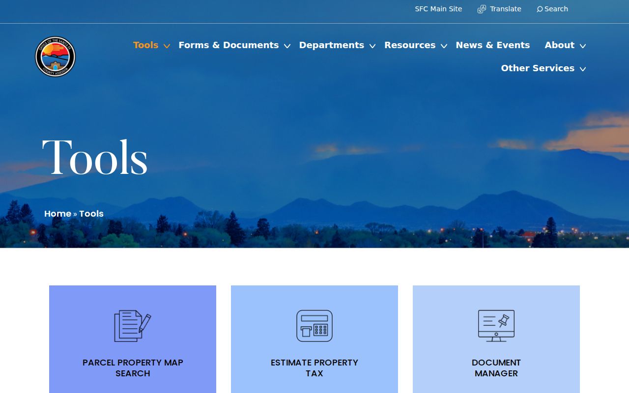
From the matched parcel, record only the fields that establish the property: UPC, parcel number, situs address, owner and mailing context, legal text, recording number or book and page, acreage, neighborhood, and the stated update date. The account layer can show assessment material as well, but it does not promise a date of owner occupancy or identify every person connected with the address.
Santa Fe Street Address Terms
Address records use a few terms that change the answer to a street question. The Assessor distinguishes the parcel's physical location from the address where tax mail goes. The Clerk relies on legal descriptions and recorded placement details. Reading those fields together helps avoid joining the wrong deed to a similarly numbered property.
- Parcel
- A defined piece of land in the county account system, identified by a UPC or parcel number and shown as a mapped property area.
- Situs address
- The physical location of the parcel. It is different from an owner mailing address when correspondence is sent elsewhere.
- Plat
- A recorded map that can show lots, blocks, subdivisions, or splits. It is more authoritative for boundaries than a reference map display.
- Criss-cross directory
- An address-first directory index used to find the published name or business associated with a street number in that volume's year.
Santa Fe County describes its UPC as an 18-number identifier built from map number, grid, quadrant, block, and parcel. In a subdivision, the lot, block, phase, and legal text can be more reliable than a casually repeated street number. In older or irregular areas, township, section, range, acreage, and the recorded-instrument reference can carry the stronger match.
Santa Fe Street Geography Checks
The Santa Fe County GIS Division runs E-911 addressing and publishes interactive mapping, while the City Public Viewer adds a city-limits parcel and zoning view. The City viewer documents a full-address search, an owner-name search, and a geocoded address or place search. Its parcel result can lead to UPC, parcel number, situs ZIP, owner and mailing context, legal description, recording details, acreage, values, exemptions, and neighborhood.
County GIS also offers an adjoining or buffer property map for notification work. That is a documented way to understand the parcels near a Santa Fe street when map clicking is not enough. The GIS office lists 240 Grant Ave. and (505) 986-6225 as its contact route. County mapping is reference-only and drawn from sources of varying quality, so use it to orient the street and then confirm a boundary, owner trail, or lot split in a recorded deed or plat.
Santa Fe's postal, city, and county geographies do not always line up. A Santa Fe mailing city can be outside municipal limits, and a city parcel can use a ZIP that extends into county land. Check the returned situs city, state, and ZIP rather than inferring jurisdiction from an envelope label. Note: The County GIS disclaimer says its data do not replace recorded documents, deeds, or plats.
Verify Santa Fe Street Parcel Maps
A parcel map is a strong way to orient a Santa Fe street search, but it is not a title decision. County GIS describes its public datasets as reference-only composites from sources of varying quality, and says they do not replace recorded documents, deeds, or plats. The City viewer likewise provides parcel and zoning context rather than a certified ownership conclusion. Use a map result to collect the parcel number, UPC, legal description, and recorded-document references that identify what should be checked next.
Then compare the map data with the County Clerk record. A deed can identify the grantor, grantee, recording date, legal description, and a prior instrument reference. A recorded plat can settle the lot, block, or subdivision geometry that a screen view only suggests. If an online image or index does not answer the question, the Clerk's foyer computers, instrument-number email route, counter service, and documented staff research are the appropriate Santa Fe verification channels. This keeps a street record trail tied to the custodian's source rather than to an unverified map label.
Santa Fe Street Records by Custodian
A Santa Fe street directory gains depth when each record is used for its own purpose. The parcel account supplies property context. GIS places it on the ground. The recording index supplies the document trail. Permit and planning channels can show development context, but their access rules are different. None of these sources turns into a public list of all occupants on a block.
| Address record | Local keeper | Street-level value | Documented access |
|---|---|---|---|
| Parcel and account | County Assessor | Situs, owner and mailing fields, UPC, legal description, values, and neighborhood | Parcel Viewer, counter, or Assessor contact. |
| City parcel and GIS | City GIS | City-limits parcel, address, owner, recording, zoning, and geography context | Public Viewer and city GIS layer. |
| Recorded instrument | County Clerk | Grantor, grantee, instrument number, book and page, and document type | ClerkTrackWeb, foyer terminals, email, counter, or staff research. |
| Plat and legal description | County Clerk and land-use offices | Block, lot, subdivision, and recorded property geometry | Recording access plus city or county development contacts. |
| Permit or plan review | City or County development offices | Development and land-use context | City Citizen Self Service, county inquiry, or custodian request. |
The County Treasurer's Paydici system is different again. It is an account-linked payment route requiring an account number or Tax ID from a tax bill, not an open street directory. Registered users can view bill PDFs and the last ten taxable years after the property account is added. Keep that limitation in mind when a tax question appears during an address search.
Santa Fe Street Directory Deed Trail
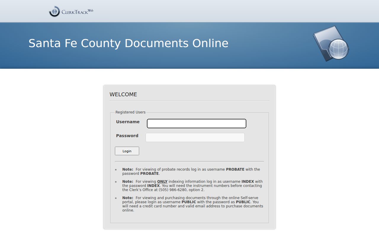
ClerkTrackWeb has separate published access paths. INDEX credentials locate indexing information, PUBLIC credentials support online document purchase with a card and valid email, and PROBATE credentials are separately identified for probate records. The official guide also offers Party Type and Recording Information routes, then Instrument Number, Book and Page, and Document Type choices. An instrument number is especially useful because it lets the Clerk find a known document without staff reconstructing the whole trail.
The County's public-records access guide supplies several fallbacks when an online search stalls. Use the free self-service computers in the Clerk foyer during business hours, with appointments taking priority. After locating an instrument number through INDEX, email the request to the Clerk and allow two business days. The County also offers unofficial address or chain-of-title research for $40 for the first 15 minutes and $40 per hour after that, with no guarantee that staff research will complete a chain.
The ClerkTrackWeb login page displays the distinct portal paths used for recorded-document access.
The County reports more than 480,000 recorded documents digitized since 2021, but it does not publish a verified first year for the web index. A missing online result is not proof that an older Santa Fe street record never existed. Preserve the UPC, legal description, recording number, and book-and-page information as the trail moves from the parcel account to the Clerk.
Santa Fe Street Permits and Plats
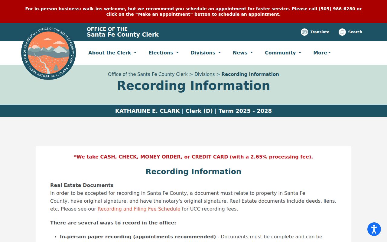
Use a recorded plat or deed to settle a land description, not a map screenshot. The County Clerk's recording guidance says real-estate documents must relate to Santa Fe County, carry original signatures, meet notary requirements, and contain a legal property description. Releases and assignments should identify the original book and page or instrument number. For a new lot, lot split, or subdivision, the recording FAQ separates county review from city review.
The County recording FAQ is the source for those document and plat distinctions.
For county property, Santa Fe County Land Use is the listed route for lot splits, subdivisions, and new lots. Inside city limits, City Permit and Development is the listed review route. A parcel may fall in one jurisdiction while using a Santa Fe mailing label, so verify the parcel location before selecting an office.
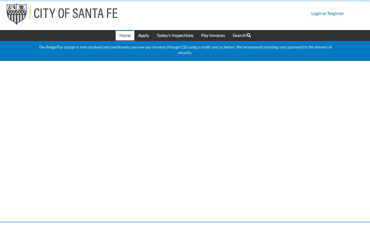
Santa Fe Citizen Self Service is the city's permit and plan-review portal. The City states that full ability to view or track a permit requires a logged-in contact listed on that permit. For a status route, the research identifies permitcounter@santafenm.gov and a requested allowance of five business days after submission, with three to five business days for a response.
The City permit portal shows the separate access environment for Santa Fe street development records.
Permit material can supply development context, but the contact-login limit means it should not be treated as a general address record search. A precise City IPRA request or the appropriate city or county contact is the documented alternative when public portal access is limited.
Santa Fe Street Directory Family Places
For a family home or a long-held property, the street trail can continue into Santa Fe's historical collections once the address is verified. The Fray Angélico Chávez History Library serial list records Santa Fe City Directory and Cross Reference Directory holdings. Hudspeth and Polk volumes, along with the pink-page street-and-number index in a particular volume, can supply a period-specific published name or business address. The separate Cross Reference Directory volumes for 1995 and 1997 provide a documented late address-first layer.
Historic listings need a date beside them. Santa Fe city directories begin in 1928, while older property trails may require deeds, newspapers, Sanborn maps, or State Archives material. The historical collections are useful for reconnecting family-place evidence with an era, but they do not replace the title chain. The Santa Fe Directory Book has the collection-focused details for that research route.
Irregular historic streets and layered Spanish, Mexican, territorial, and statehood records add another reason to preserve each source's spelling and address form. When a historical index supports it, retry a surname without diacritics and with a documented spelling variation. The Chávez obituary database itself advises researchers to disregard diacritics.
Limits of a Santa Fe Street Directory
County parcel accounts describe property and owner or mailing context. They do not establish every current occupant. City and County GIS are reference layers, not title certification. NMVote provides a person's own registration and an address-based voting-location tool, not a public street roster. A regulated statewide voter-data request is separate, requires a written authorization and stated intended use, and has statutory limits. Safe at Home participants' actual addresses are protected in a secured voter module.
Lawful use. Use Santa Fe address records for personal, lawful research, family history, property questions, or civic curiosity. Do not use a record trail to stalk, harass, intimidate, or harm anyone.
For an official record that is unavailable online, use the relevant counter, email request, public-records process, library, or archive instead of filling gaps with assumptions. The New Mexico Inspection of Public Records Act can apply to a suitable government record request, but recorded real-estate documents have their own Clerk access and fee channels. Note: A property owner field, a mailing field, and a historic directory listing each answer a different question about a Santa Fe address.