
Santa Fe ZIP Code Delivery Areas
The City of Santa Fe Local Zip Codes map is the strongest local reference for the delivery geography. It labels five delivery ZIP codes: 87501, 87505, 87506, 87507, and 87508. The same map separately identifies four P.O.-box ZIPs. The delivery entries below are orientation aids drawn from that city map, not proof that every address with a Santa Fe postal name is inside the incorporated city.
| ZIP | Areas Covered | Post Office | Notes |
|---|---|---|---|
| 87501 | Historic core and north-central delivery geography, including Plaza and City Hall labels | Santa Fe NM 87501 parent | Delivery ZIP, not a city-limit boundary. |
| 87505 | Central and south-central delivery geography | Santa Fe NM 87505 parent | City parks material groups several 87505 facilities. |
| 87506 | North and northwest delivery geography, including Las Campanas on the map | Santa Fe NM 87501 parent | Extends beyond the incorporated-city setting. |
| 87507 | West and southwest delivery geography, including Agua Fria and municipal-recreation-side features | Santa Fe NM 87505 parent | Check the exact address before assigning jurisdiction. |
| 87508 | Southeast and south delivery geography, including Rancho Viejo and Santa Fe Community College labels | Santa Fe NM 87505 parent | Often associated with county and southeast context. |
| 87502, 87504, 87592, 87594 | Coronado, Main, Santa Fe Place, and DeVargas P.O.-box service | Coronado Center, Santa Fe Main, Santa Fe Place, and DeVargas | Mailing-only identifiers, not parcel geography. |
A Santa Fe ZIP code directory should keep delivery and P.O.-box records separate. The city map identifies 87594 with DeVargas, 87504 with the Main Post Office, 87502 with Coronado Center, and 87592 with Santa Fe Place. Those codes direct mail to boxes, so they are not appropriate starting areas for a street or parcel search.
Santa Fe ZIP Code P.O. Box Limits
A P.O.-box ZIP identifies a postal collection point rather than the physical place associated with the mail. It cannot establish a situs address, municipal jurisdiction, parcel ownership, or the people connected to a property. When a historical letter, family paper, or business record supplies only one of these ZIPs, look for a street address, legal description, parcel number, or dated directory entry before moving into local property records.
ZIP+4 is the additional four-digit delivery refinement added after the five-digit ZIP. It helps postal sorting but does not replace a property identifier. A unique ZIP serves one organization, while a carrier route is the postal route used to deliver mail. Neither term is a substitute for the county's parcel field or the City viewer's physical-address result.
- ZIP code
- A Postal Service delivery-geography code used to route mail. It can cross city or county boundaries.
- ZIP+4
- A more specific postal delivery segment added to a five-digit ZIP, not a parcel or boundary identifier.
- P.O.-box ZIP
- A ZIP used for box service at a named postal facility rather than a residential street-delivery area.
- Carrier route
- A mail-delivery route used for postal handling; it does not define a legal property boundary.
Note: A P.O.-box ZIP is a mailing clue, so pair it with a complete address or dated directory before checking parcel records.
Trace a Santa Fe ZIP Code to a Parcel
The reliable Santa Fe ZIP code workflow moves from postal formatting to the exact physical location. The County Parcel Viewer has a situs-ZIP field, and the City parcel layer has a situs ZIP for city-limits parcels. Research did not find a verified public Assessor control that returns a ZIP-wide owner list, so an exact-address search is the documented route. It also avoids confusing similarly named roads in the city and unincorporated county.
- Use USPS ZIP Code Lookup or the City local ZIP map to verify the current postal formatting for the complete mailing address.
- Enter the full street address in the County Parcel Property Map Search or the City Public Viewer's full-address search.
- Confirm the returned situs city, state, and ZIP, then record the UPC or parcel number and the legal description.
- For a property-history question, use the parcel's recording reference or legal description with the County Clerk's recorded-document process.
- Use the voting-location route only for an election-place question. It takes an address and ZIP, but it does not return people associated with that ZIP.
The Santa Fe County GIS page explains the county's mapping and E-911 addressing role.
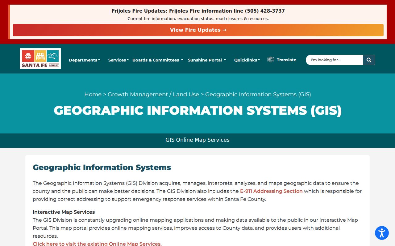
County GIS maps are reference-only composites and do not supersede deeds or plats. Once a ZIP narrows the place, the fuller Santa Fe Street Directory route follows the exact address through the parcel, GIS, and recorded-document chain.
Santa Fe ZIP Code Address Fields
After the ZIP is checked, the County viewer offers documented fields that can identify the parcel. These are exact-address and account search fields, not ZIP-wide filters. The county's official configuration supports one search criterion at a time and then a map selection or result panel. That distinction matters: use a ZIP to confirm where an address belongs, then use the property data to identify the record.
| Parcel Viewer field | Type | Use after ZIP check | Format note |
|---|---|---|---|
| Search Address | Text | Find the physical situs address | Uses the underlying situs-address field. |
| Search UPC | Text | Return to the matched property account | Enter the county's 18-number UPC. |
| Search Owner (Last, First) | Text | Check an owner already tied to a parcel | The published label requires last-name-first order. |
| Search Parcel ID | Text | Open a known county parcel | Use the parcel number. |
| Parcel map result | Interactive select | Review the matching property account | Available after a search or map click. |
The parcel account can show situs address and ZIP, owner and mailing address context, legal description, recording number, book and page, acreage, neighborhood, values, and exemptions. Its owner mailing field may point somewhere other than the parcel. It also does not establish who is present at an address. For city-limits work, the City viewer's documented full-address, owner-name, and geocoded address or place searches provide a separate local check.
Santa Fe ZIP Codes and City Limits
Postal boundaries and municipal boundaries serve different purposes. The Postal Service groups the Santa Fe delivery ZIPs under historic parent patterns, while the city map places landmarks and delivery areas for orientation. A location written as Santa Fe can be outside the city, and a city parcel can carry a ZIP extending into surrounding county territory. The County E-911 Addressing Section handles county addressing, while the City Public Viewer is the local reference for city-limits parcel work.
Use the returned situs city and ZIP from the correct parcel system rather than inferring a city boundary from 87501, 87505, 87506, 87507, or 87508 alone. This is particularly useful in north and northwest delivery geography around the map's Las Campanas label, and in southeast and south geography around Rancho Viejo and Santa Fe Community College. Those labels help orient a search but do not promise street-level delivery or jurisdiction.
Boundary check. A Santa Fe postal label is a delivery convention, not proof of city limits. Confirm the actual parcel's situs fields before choosing a city or county records path.
Santa Fe ZIP Code Census Context
Census ZIP Code Tabulation Areas, called ZCTAs, are useful statistical approximations of ZIP geography. They are not USPS delivery boundaries. The Census profile system identifies ZCTAs for 87501, 87505, 87506, 87507, and 87508, but a ZCTA cannot settle a disputed address, a parcel boundary, or a postal delivery format. Keep census geography separate from the parcel and address checks used for a Santa Fe ZIP code directory search.
The Census ZCTA profile for 87501 illustrates the federal statistical view of one Santa Fe-area ZIP geography.
Use a Census profile to understand an area at the ZCTA level, then return to USPS for mailing format and the city or county parcel viewer for an exact address. That order respects the different geography each source was built to describe.
Note: ZCTA boundaries aid area comparison, but the returned situs field and USPS address lookup control the property-level ZIP check.
Santa Fe ZIP Code Voting Locations
NMVote has an address-based voting-location route that uses a street number and ZIP to return a nearby voting place. It is a practical ZIP-related check for a voter looking up that voter's own election information. It is not a name directory, street roster, or ZIP-wide resident search. The statewide SERVIS voter-data route is different: it is a written, paid request with an authorization form, stated intended use, and statutory restrictions.
The New Mexico voting-location portal shows the address-and-ZIP entry route used to find a nearby polling location.
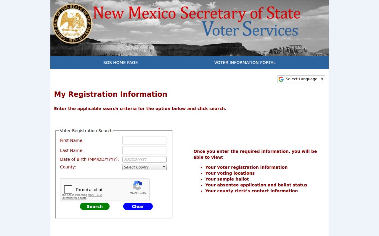
The result helps verify the appropriate voting place for a supplied address. It does not identify a group of residents in a ZIP, and it never reveals ballot choices. Safe at Home participants' actual voter addresses are kept in a secured module rather than ordinary public voter data.
Santa Fe ZIP Codes for Family Places
A ZIP can be a helpful first label on an old family letter, photograph, or directory notation, especially near the historic core shown in 87501 delivery geography. It still needs a dated address before it can connect to local history. Santa Fe city directories begin in 1928, and historic address work may also call for a deed, Sanborn map, newspaper, or State Archives record. Different source families test different periods.
Santa Fe's historic districts and irregular older streets make the exact address more important than a broad postal label. The City has historic aerial layers for multiple years, while early Sanborn coverage is not citywide. Pairing a map or aerial with a dated directory can help place a family address in time, but neither source proves a legal property boundary or a current connection to that place.
Santa Fe ZIP Code Search Limits
No verified public Assessor ZIP filter was located for a ZIP-wide property-owner search. Do not infer an owner, a current resident, or city jurisdiction from a five-digit code. The County Assessor tool, City GIS viewer, County GIS maps, Clerk recordings, and NMVote each answer a narrower question. Start from a complete address and retain the UPC, legal description, and recording reference when the record trail needs to move beyond postal geography.
The Santa Fe ZIP code directory also has a clear privacy boundary. Parcel and map data are reference material, not a basis for compiling household claims. Election self-service is for a voter's own information, and regulated voter data has a separate lawful request process. For a records question that cannot be resolved through the public map or Clerk route, use the relevant office, counter, written request, library, or archive rather than assuming an incomplete result is final.
Note: An exact street address plus a parcel identifier is stronger Santa Fe evidence than a mailing city or ZIP code alone.